YOUR PUBLIC TRANSPORT DATA UNDER GLOBAL STANDARDS
Tools to manage data under GTFS standards.

Tools to manage data under GTFS standards.


We offer a set of tools focused on improving urban mobility under the different GTFS standards that are available today in the world. The platform is simple and intuitive to use and allows for an agile mapping of transport agency information.
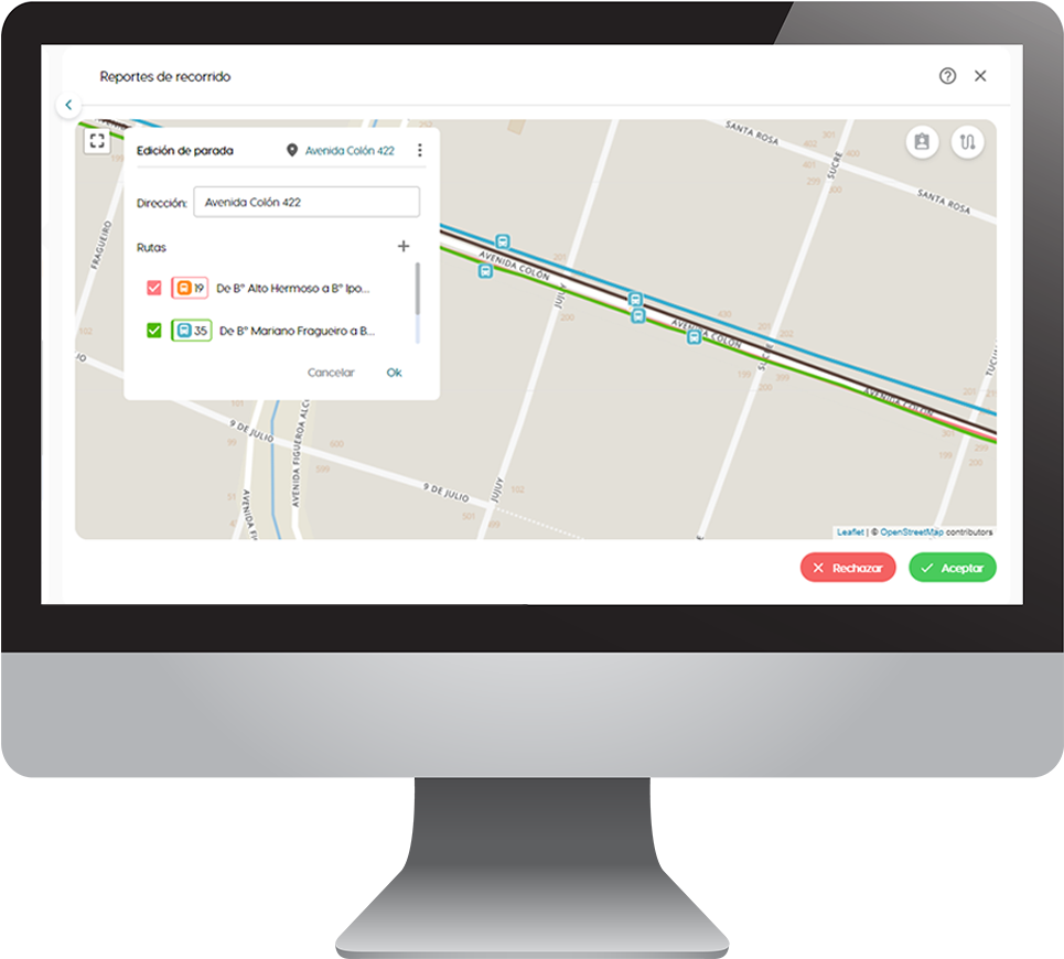
GTFS File Management
It allows you to create and edit routes, schedules, routes, frequencies, stops and all the information required for the highest data quality.
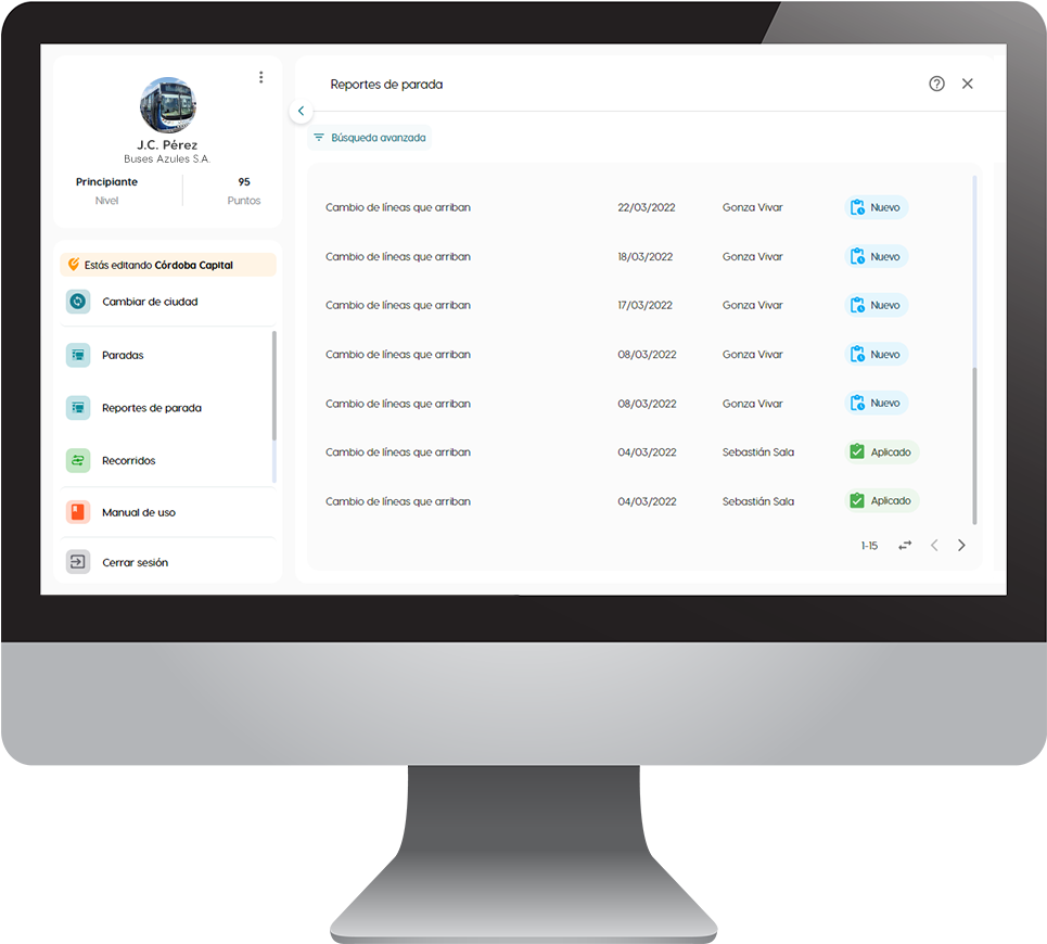
Users and Permissions
You can manage multiple user accounts, with reading or editing permissions according to the needs of your organization.
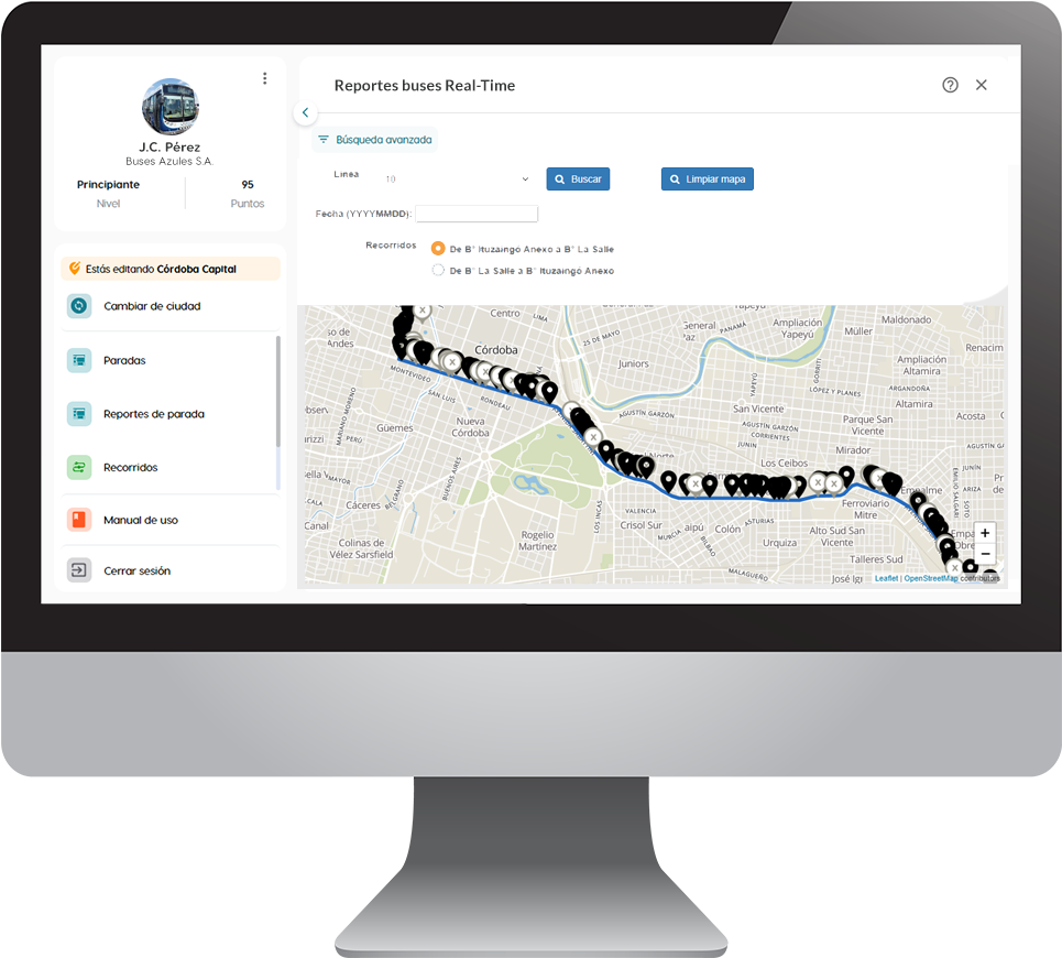
GTFS Real-Time
We accompany cities and agencies to define the information exchange formats with companies that provide GPS devices.
Franco Rapetti, CTO
Mobility is an essential service in cities and we are convinced that both the public and private sectors must work together.
That is why we created a consortium with organizations from the sector committed to democratizing transport information in the world. Do you want to know more?
We move forward together with great Partners to tell the advantages that open transport data brings to cities.
We put the Ualabee app into operation for users in the city and upload the data to Google Maps and other map platforms.
We collaborate with our tools to standardize transport data, saving time and money for your management.
We deliver communication modules with passengers and free tools for transportation planning.
